Wood Street · Fleet Street · Seel Street
Concert Square & the Ropewalks
The Ropewalks take their name from the rope-making trade that supplied Liverpool's sailing ships and dominated the area until the 19th century. Its warehouses now frame Concert Square, between Wood Street and Fleet Street, the centre of the city's nightlife since the 1990s.
- Named after
- The rope-making trade
- District
- Ropewalks
- Streets
- Wood Street, Fleet Street, Seel Street, Slater Street
The long straight streets between Bold Street and Duke Street were shaped by rope making: rope for sailing ships was laid out along ropewalks the length a ship needed, and the trade dominated the district until the 19th century. Warehouses for the port followed, and many still stand.
Concert Square, between Wood Street and Fleet Street, is surrounded by those warehouses and newer buildings. Since the 1990s it has been one of Liverpool’s main places to drink outdoors, and Baa Bar on Fleet Street is often credited as one of the first bars to turn the area into a nightlife district.
Nearby Wolstenholme Square, built on land owned by the Wolstenholme family, hosted clubs and raves from the 1990s until 2016, when they were demolished and replaced by flats and commercial units.
- 1700s
Ropewalks for the port's rope makers run through the district.
- 1800s
Warehouses rise between Bold Street and Duke Street.
- 1990s
Concert Square becomes the centre of Liverpool's nightlife.
- 2016
The Wolstenholme Square clubs are demolished for new homes.
Old Town Liverpool guides
With the story behind the building
- Duke Street Market
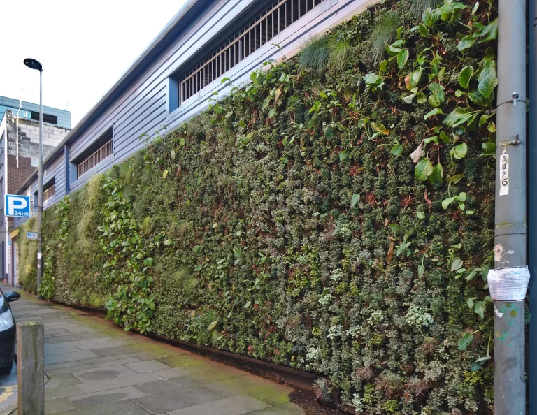 Voyagers Restaurant & BarThe Halyard, 123 Duke Street (restaurant entrance at 38 Parr Street)
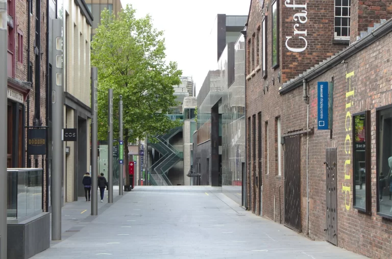 LunyaUnit within Liverpool ONE (former Busaba Thai unit) · built 2000s (Liverpool ONE, opened 2008)
- Hanover Street Social
 Villa Romana6 and 8 Wood Street (Grade II listed) · built Early 19th century · Grade II
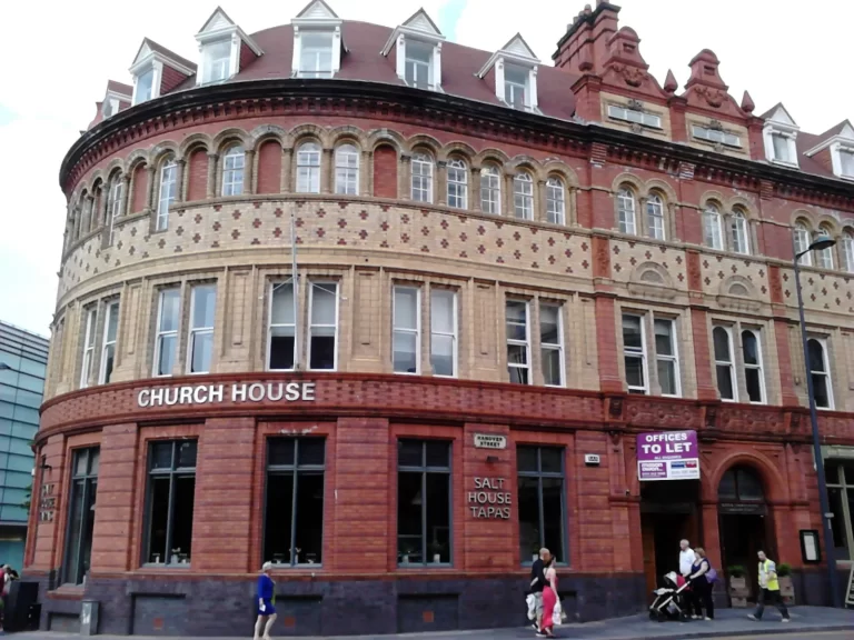 Salt House TapasChurch House · built 1885 · Grade II listed · NHLE 1075209
Make an evening of it
What's on nearby
Things to do
Tours that start nearby
- Bus tours · Sightseeing from £15 per adult City Explorer Hop-On Hop-Off Bus Tour City Explorer Liverpool (Maghull Coaches) Times, prices & meeting point
- Beatles · Bus tours from £20 per adult Beatles Explorer Bus Tour City Explorer Liverpool (Maghull Coaches) Times, prices & meeting point
- River cruises · Sightseeing from £14 per adult Mersey Ferries River Explorer Cruise Mersey Ferries Times, prices & meeting point
Around Concert Square & the Ropewalks
Sources: Wikipedia: Ropewalks, Liverpool; Wikipedia: Concert Square, Liverpool; Food Standards Agency food hygiene rating data (Open Government Licence v3.0), updated 16 October 2026.